

Marine Traffic: Real-Time Vessel Tracking, AIS Data, and Global Maritime Insights
Introduction
In today’s interconnected world, marine traffic monitoring plays a pivotal role in shipping, trade, and maritime safety. From large container ships navigating global trade routes to small leisure yachts sailing across local waters, the ability to track vessels in real time has transformed the maritime industry.
Powered by AIS (Automatic Identification System) technology, modern marine shipping traffic platforms and marine traffic maps provide live ship positions, voyage histories, and detailed vessel information. Whether you are a shipping company optimizing logistics, a port authority managing congestion, or a maritime enthusiast following vessels, understanding how these tools work is essential.
Understanding Marine Traffic
Marine traffic refers to the global movement of vessels across oceans, seas, and inland waterways — monitored using advanced tracking systems. Ships equipped with AIS transmitters automatically send out:
• Vessel name and unique MMSI number
• Current position (latitude & longitude)
• Speed over ground (SOG) and course over ground (COG)
• Destination and estimated time of arrival (ETA)
• Cargo type and vessel dimensions
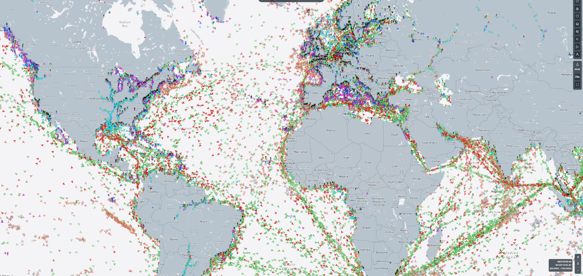
These transmissions are captured by coastal AIS receivers and satellites, processed in real time, and displayed on a marine traffic map accessible online or via marine traffic apps.
How Marine Shipping Traffic Tracking Works
Monitoring marine shipping traffic involves three main steps:
Step 1: AIS Transmission
Each AIS-equipped vessel broadcasts navigational and identification data at regular intervals. Large ships are required by the IMO’s SOLAS Convention to carry AIS transponders, while many smaller vessels also voluntarily use them.
Step 2: Reception by Ground and Satellite Stations
• Terrestrial AIS – Receives signals within roughly 40 nautical miles of shore.
• Satellite AIS – Extends coverage to remote oceans far from coastal stations.
Step 3: Data Aggregation & Display
The data is compiled into interactive interfaces, often layered with weather, port, and routing information.
(Image ALT tag suggestion: “AIS marine traffic data reception and vessel tracking process”)
The Role of AIS Marine Traffic in the Maritime Industry
The AIS marine traffic system is not just about curiosity — it’s a critical tool for:
• Safety – Preventing collisions and enhancing situational awareness.
• Efficiency – Allowing operators to optimize routes and minimize fuel costs.
• Transparency – Providing accurate data to shipping stakeholders.
• Regulatory Compliance – Meeting flag state and port authority requirements.
Beyond shipping, AIS data supports:
• Fishing vessel monitoring
• Yacht racing
• Marine research & environmental monitoring
• Search & rescue operations
Exploring a Marine Traffic Map
A marine traffic map is more than a live ship locator — it’s a dynamic operational dashboard.
Key Features:
• Zoom & Filter Options – Focus on specific regions, ports, or vessel types.
• Vessel Detail Pop-Ups – Access IMO number, voyage status, and past route.
• Port Congestion Monitoring – Track incoming, anchored, and departing ships.
• Weather Overlays – Combine meteorological data with ship tracking.
Marine Traffic Apps – Tracking Ships from Anywhere
A marine traffic app brings real-time vessel tracking to your pocket. Modern apps allow:
• Live vessel positions with map view
• Push notifications for vessel status changes
• Voyage history playback
• AIS satellite coverage for remote locations
• Port call and departure alerts
Popular Apps:
• MarineTraffic – One of the most widely used, offering extensive global coverage.
• VesselFinder – Known for user-friendly design and reliable data.
Benefits of Real-Time Marine Traffic Monitoring
• Operational Planning – Shipping lines can optimize port calls and reduce delays.
• Safety & Security – Helps prevent maritime accidents and detect suspicious activity.
• Environmental Impact Reduction – Supports eco-friendly route planning to lower emissions.
• Global Trade Transparency – Offers visibility into shipping patterns and supply chains.
Challenges & Limitations
While AIS and marine traffic technology are powerful, they have limitations:
• Signal Gaps – Remote ocean areas may experience AIS coverage delays.
• Data Accuracy – Some vessels may transmit outdated or incorrect information.
• Privacy Restrictions – Military and certain private vessels may disable AIS transmissions.
The Future of Marine Traffic Technology
Emerging developments include:
• AI-Powered Predictive Routing – Anticipating delays and optimizing arrival times.
• Integration with Port Management Systems – Seamless berth scheduling.
• Environmental Monitoring – Tracking emissions and compliance in real time.
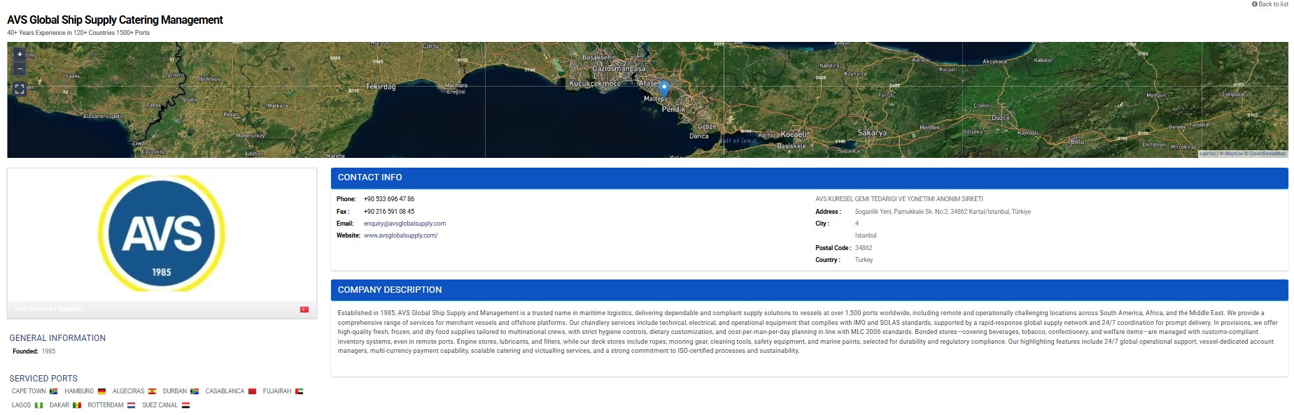
AVS Global and Marine Traffic Integration – Enhancing Visibility in the Business Directory
AVS Global Ship Supply & Management leverages marine traffic not only for real-time vessel monitoring but also to strengthen our visibility in the Business Directory under the Ship Supplier & Services category. As an AIS partner, we ensure that shipping companies can easily locate and engage with us while tracking vessels through integrated marine traffic systems.
For procurement teams, this means faster access to verified supplier profiles, enabling them to request quotes and coordinate deliveries based on live vessel positions and port call schedules. For operations managers, the Business Directory serves as a reliable tool to align ship supply planning with vessel movements, reducing turnaround times and avoiding unnecessary delays.
By combining AIS-powered vessel tracking with directory-based supplier matching, AVS Global helps maritime operators streamline both their operational workflows and supply chain efficiency. Powered by AIS technology, modern marine shipping traffic platforms and marine traffic maps provide live ship positions… You can also view our local receiving point on MarineTraffic here: AIS Station #43461.
FAQ – Marine Traffic & AIS Vessel Tracking
Q1: What is AIS marine traffic?
AIS marine traffic is the real-time tracking of vessels using Automatic Identification System technology, which broadcasts ship position, speed, and navigational data.
Q2: How can I check live marine traffic?
You can view live marine traffic maps via online platforms or marine traffic apps that display AIS data globally.
Q3: Is marine shipping traffic tracking free?
Basic live tracking is usually free, while advanced features like satellite coverage and historical playback may require a subscription.
Q4: Why is marine traffic data important?
It improves maritime safety, optimizes logistics, and increases transparency in global shipping.
Q5: Can I track any vessel worldwide?
Most AIS-enabled ships can be tracked globally, except for vessels that restrict their AIS broadcasts for security or privacy reasons.